Accessibility
Introduction
Accessibility measures the convenience of a spatial unit to reach the input target facilities, and a higher value indicates a better convenience of the spatial unit to reach the facilities. Based on a gravity model, the convenience is quantified by the straight-line distance between the spatial unit and the facility. The correlation between each spatial unit and the facility can be constrained by setting the radius of influence range.
1. Set the input data

- Input Data: Spatial data only.
2. Set the facilities
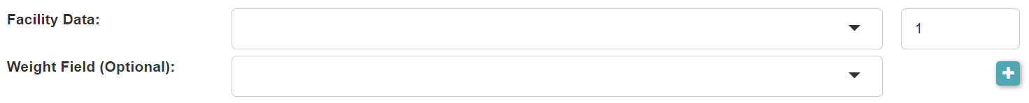
- Facility Data: Spatial Data only. Multiple facility datasets can be added. A weight can be input for each facility dataset, and the sum of all weights should be 1.
- Weight Field: Its values will be the weights of facilities in this facility dataset.
3. Set the influence radius

- Influence Radius: The radius of the influence range of a facility. The accessiblity of a unit will be only affected by the facilities whose influence ranges cover it.
4. Set the power of the inverse distance

- Power of the Inverse Distance: The accessibility of a unit is related to the inverse of the distance from the unit to the facility. The greater the power of the inverse distance, the farther facility brings less impact on the accessibility.
5. Set the output data

- Output Data Name: If no name is set, the default is "toolName_time".
6. Submit
After completing the above settings, click Submit to start the tool.
When it finishes successfully, a message will be shown at the top of the page. You can click the Open Data button to start accessing the data or go to the Data page to view it.