Split
Introduction
The Split tool can split the input data into multiple datasets by location or by attributes.
1. Select the input data

- Input Data: It can be spatial data or attribute data.
2. Set the split type

- Split Type: The input data can be split by location or by attributes.
- Split By Location: The input data will be split by the spatial relationship to the boundary data. The input units within the same polygon from the boundary data will be output as a new dataset

- Boundary Data: Polygon data only.
- Split By Attributes: The input data will be split by the different values of the selected field.
- Split Field: The field used to split the input data.
3. Set the output data
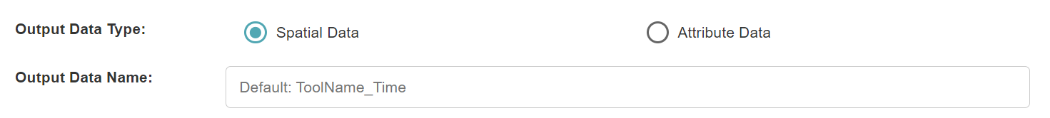
- Output Data Type: It can be spatial data or attribute data.
- Output Data Name: If no name is set, the default is "toolName_time". The name of each output dataset will have a different suffix.
4. Submit
After completing the above settings, click Submit to start the tool.
When it finishes successfully, a message will be shown at the top of the page. You can click the Open Data button to start accessing the data or go to the Data page to view it.