Intersect
Introduction
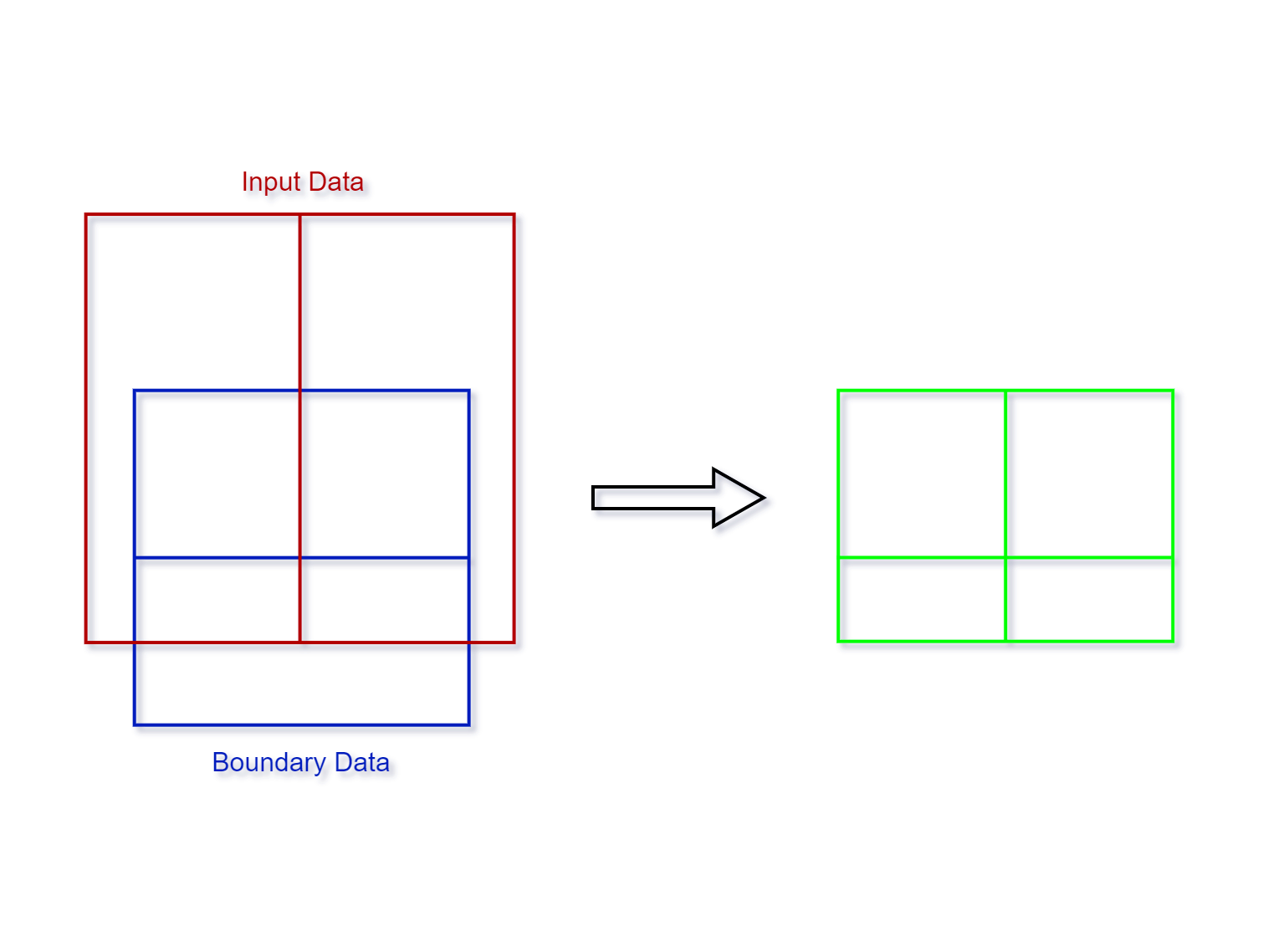
The Intersect tool generates the geometric intersection of the input spatial data and the boundary data.
1. Select the input data

- Input Data: Spatial data only.
2. Select the boundary data

- Boundary Data: Each of the polygons from the boundary data will be used separately to intersect the units of the input data.
3. Set the output data

- Output Data Name: If no name is set, the default is "toolName_time".
4. Submit
After completing the above settings, click Submit to start the tool.
When it finishes successfully, a message will be shown at the top of the page. You can click the Open Data button to start accessing the data or go to the Data page to view it.