Flow Aggregation
Introduction
Flow Aggregation aggregates the flow data between the spatial units at a low level into the flow data at a higher level, based on the spatial relationship between the units at the low level and the units at the higher level.
1. Set the flow data at a low level
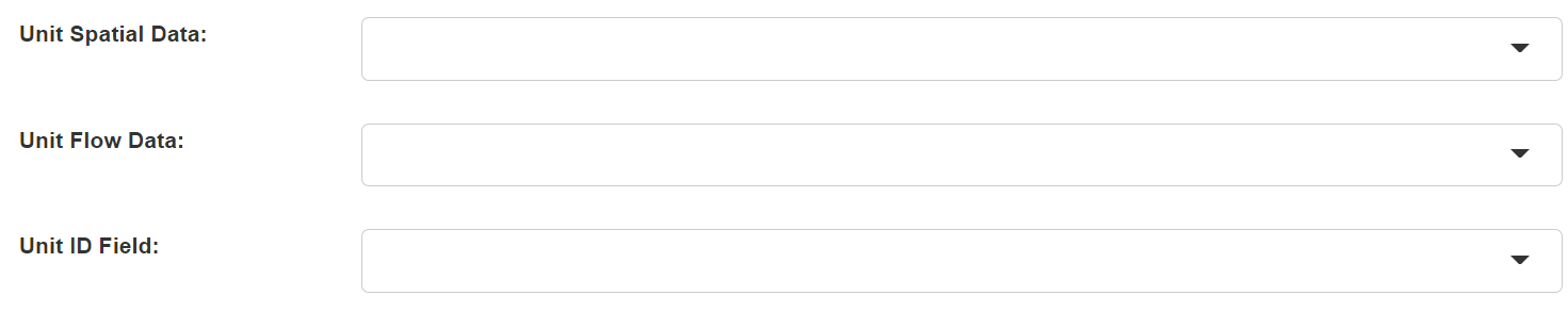
- Unit Spatial Data: The spatial units at a low level.
- Unit Flow Data: The attribute data represent the flows between the spatial units at a low level. The first field is the ID of the origin unit, the second field is the ID of the destination unit, and the other fields are the flow values from the origin unit to the destination unit.
- Unit ID Field: The ID field of the spatial units in the unit spatial data. Its values should be unique and match the values in the first two fields of the unit flow data.
2. Set the boundary data at a higher level
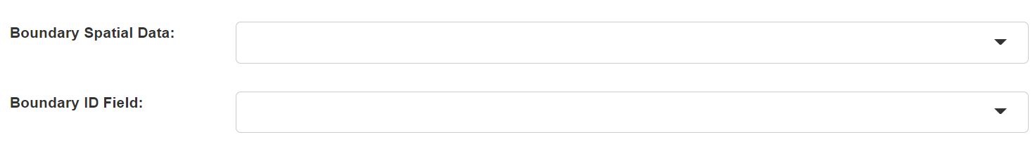
- Boundary Spatial Data: The spatial units at a high level.
- Boundary ID Field: The ID field of the spatial units in the boundary spatial data. Its values should be unique and will be used in the first two fields of the output flow data.
3. Set the output data

- Output Data Name: If no name is set, the default is "toolName_time".
4. Submit
After completing the above settings, click Submit to start the tool.
When it finishes successfully, a message will be shown at the top of the page. You can click the Open Data button to start accessing the data or go to the Data page to view it.