Isodistance
Introduction
Isodistance can generate equal distance polygons for the input points for specified distances.
1. Set the input points

- Longitude and Latitude: Input the longitude and latitude for each input point.
- Distance: For each input point, a different distance can be input. The unit is kilometer (km).

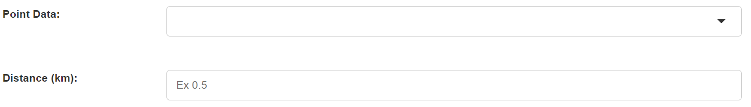
- Point Data: Select a point dataset.
- Distance: Only a single distance can be input for all points in the data. The unit is kilometer (km).
2. Set the output data

- Output Data Name: If no name is set, the default is "toolName_time".
3. Submit
After completing the above settings, click Submit to start the tool.
When it finishes successfully, a message will be shown at the top of the page. You can click the Open Data button to start accessing the data or go to the Data page to view it.